Day 114 – From tentsite to Snow Lake, mile 1794

Aug 12.


Left tentsite after a quick breakfast at 6.25am. Water would be difficult today – we made an early stop after 6 miles to fill up. A bit below 10 miles at 10am. Shortly after, we had the biggest climb of today with 1300 feet done and 11 miles in.

The trail led through some burnt forest areas. I would see that a lot in the weeks to come. Oregon had seen very bad forest fires in 2017 – most PCT hikers had to skip major parts of Oregon last year.

dsc02453
Burnt forest with flowers blossoming

Lunch break at 1pm at Christie’s spring at mile 1782 with 17 miles done. Good progress. The vertical profile of the trail in Oregon is rather easy.

cof

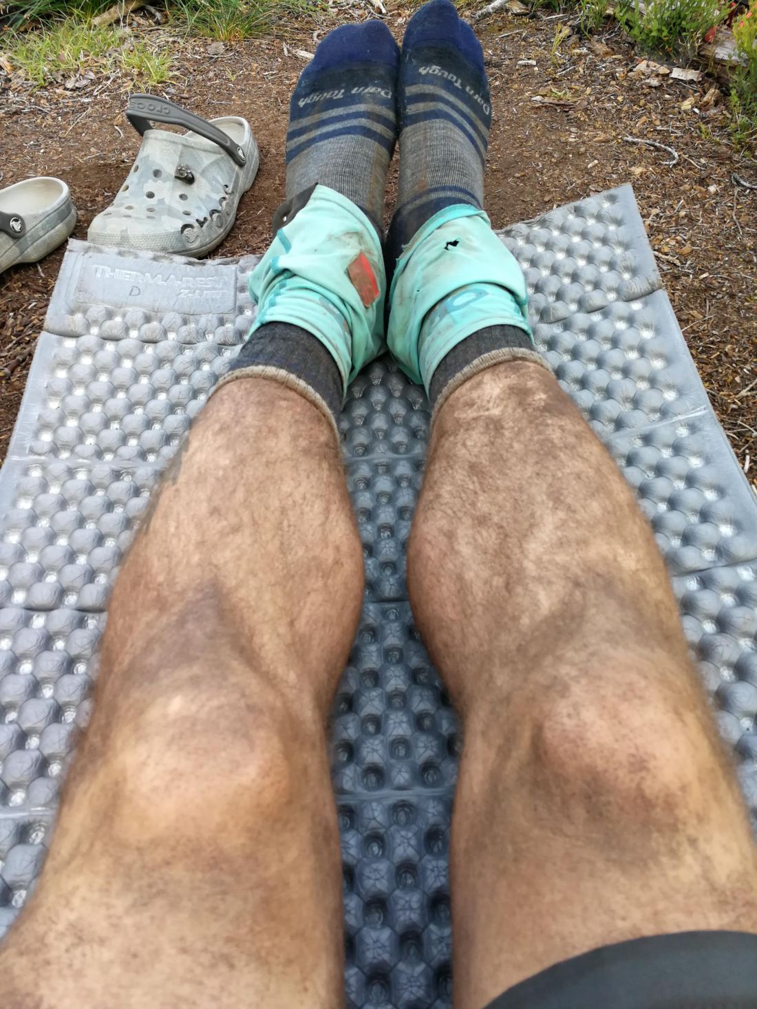
The dust of the trail mixed with ash from the fires sticking on my legs due to the sunscreen… and on days without much water, this is also how I go into my sleeping bag  (liner 🙂 ) in the evening…

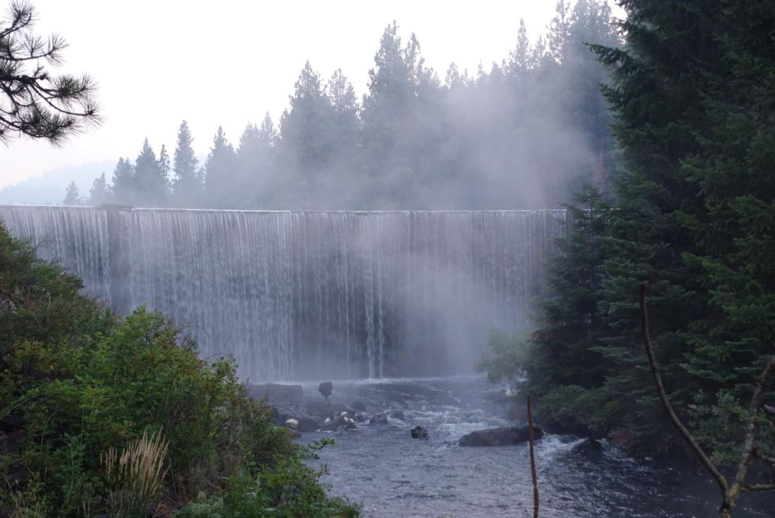
But this night, we found some spot for the tents with Spirit Kick at 6.30pm at Snow Lake at mile 1794.

sdr

29 miles today.

In the dark around 10pm, more hikers came to Snow Lake. We woke up with them shuffling around with their bright headlamps… To find them cowboy camping all around our tents in the next morning… 🙂

Day 113 – From tentsite to tentsite, mile 1765

Aug 11.

dsc02392

Got up 5.15am, started hiking 6.15am. The smoke has its advantages – with the early sunlight, it creates beautiful photo opportunities.

We completed 10 miles by 10am, took a break to get new water.

Pushing on, we had 16.5 miles done before the lunch break at 1pm. In the afternoon finally a change in landscape! I had seen trees and trees and trees since weeks – Northern California and the South of Oregon had been very similar so far. I am excited to see first volcanic rocks – Oregon will offer much more of that.

Around 5pm, we crossed a highway and met two hiker offering some trail magic out of their rental car. They had decided to skip Oregon – and to make up for that, they were doing trail magic with sodas and snacks – much appreciated! 🙂

Camped at 6.45pm at mile 1765 with 26 miles done. Doing a good job with a planned daily 25+ miles.

Day 112 – From Ashland to tentsite, mile 1739

Aug 10.

Getting out of town was easier than expected. After the breakfast in the motel and some last shopping, we were just standing at the street for a couple of minutes. An older couple stopped and offered a ride to the trail head: we don’t want you to stand out here in the smoke longer than necessary.

We got on trail at 10.30am. We refreshed at a water cache right at the trail head and started hiking out from Ashland and hopefully away from the smoke.


dsc023882

At 7.30pm we came to our planned tentsite with water at mile 1739 – an outlet with a waterfall from a lake.

dsc023891

22 miles – decent for a nero – considering that we only started hiking at 10.30am.

Days 110, 111 – Nero and Zero day in Ashland

Aug 8. and 9.

fbt

With just 6 miles left and leaving at 6am, made it to the highway before 8am. Crumbs and I were walking together to the the highway and met another hiker from Switzerland who had already called a trail angel for a ride. We were lucky – with basically no waiting time, we got into Ashland!

I went to the motel where Cactass and Tinkle were sharing a room with three other hikers. My early arrival was a surprise and being reunited was really nice! But it also meant good bye again soon after! Cactass is attending some weddings in September and for that, she decided to skip forward a couple of days to Crater lake.

With Cactass gone, we spent the rest of town time shopping for food, eating and resting. I used the life long Darn Tough socks warranty the first time and exchanged a pair with holes with a new one in the Mountain Provisions shop in Ashland.

cof

It was also time for my forth pair of shoes:

  • First was Salomon X Ultra Mid, 0-700 miles
  • Second Lowa Camino Leather for the Sierras, 700-1100 miles
  • Third Salomon X Ultra 1100-1700
  • Fourth Salomon X Ultra 1700-?

The smoke situation from the forest fires is quite bad, especially around Ashland.

Capture

You see many people with filter masks on their faces on the streets – we will check out a local hardware store before hitting the trail later.

Day 109 – From tentsite to tentsite, mile 1710

Aug 7.

dsc02379

Started walking 6.45am with just a couple of miles to a really important milestone – the California/Oregon border!

For 109 days and close to 1700 miles / 2735 km, I have been hiking from the Mexican border (Campo, CA) all the way through California. The PCT leads from Mexico to Canada through just three states – and California is by far the longest. Oregon and Washington are each roughly 500 miles to walk.

So arriving at the border this morning meant a lot for me. Completing the PCT is really possible and even the timing seems to turn out ok. I am expecting to reach Canada end of September now.

fbt

Soon after border, the next milestone waited for me – another 100 miles marker, the 1700 miles marker.

fbt

To make it to Ashland respectively highway 5 today would have meant 33 miles today. I was thinking about pushing on to Ashland today a lot. It would also mean a chance to catch up with Cactass and Tinkle – the two girls I had been hiking with from the beginning for a good three months.

There was one or the other climb during the day, but the afternoon was all downhill towards Ashland. Still my progress indicated that I would make it maybe around 8pm to the highway, not a good time for getting a hitch into town.

I decided to camp with a handful of other hikers about 6 miles from the highway. Planning an early start tomorrow, I should make it for breakfast into town.