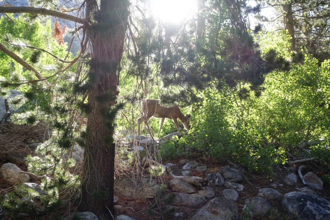
Since we only wanted to approach Muir pass, we could afford a slow morning. Woke up short before 7am, was greeted by a deer standing right next to my tent.
Hit the trail 8.30am. Saw many deers on the trail. Ascend towards Muir pass starts slowly.
No traveler, whether a tree lover or not, will ever forget his first walk in a sugar-pine forest. The majestic crowns approaching one another make a glorious canopy, through the feathery arches of which the sunbeams pour, silvering the needles and gilding the stately columns and the ground into a scene of enchantment.
– John Muir
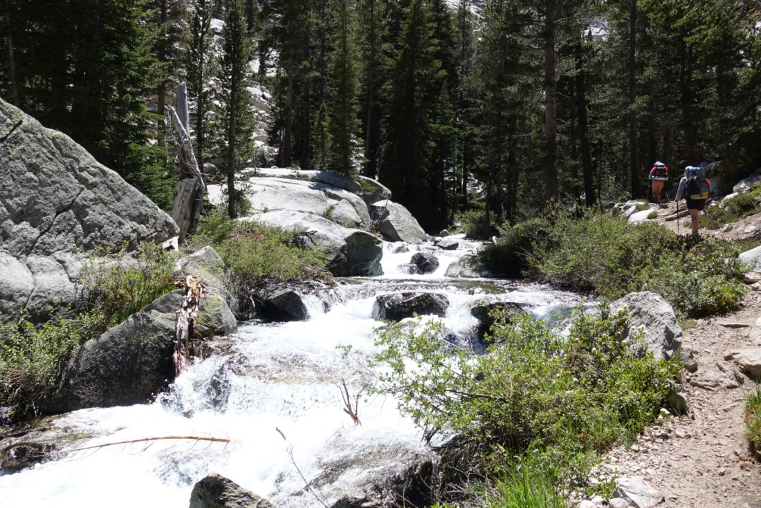
Break at a river rock bed. Beautiful.
Lunch break around 12pm at Big Pete meadow, mile 833, 9200 feet.
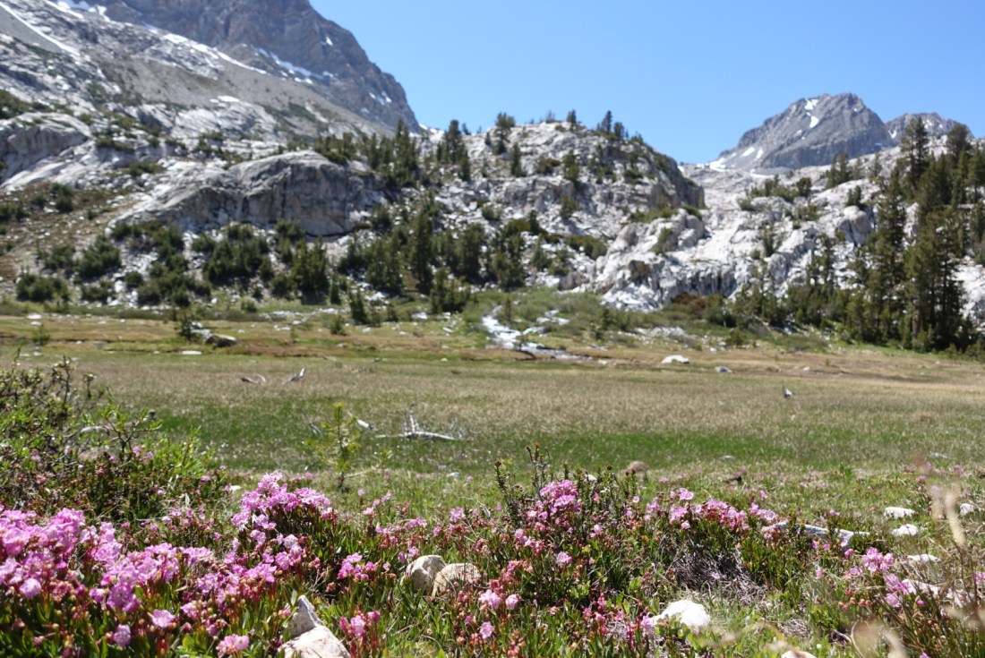
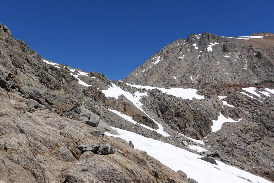
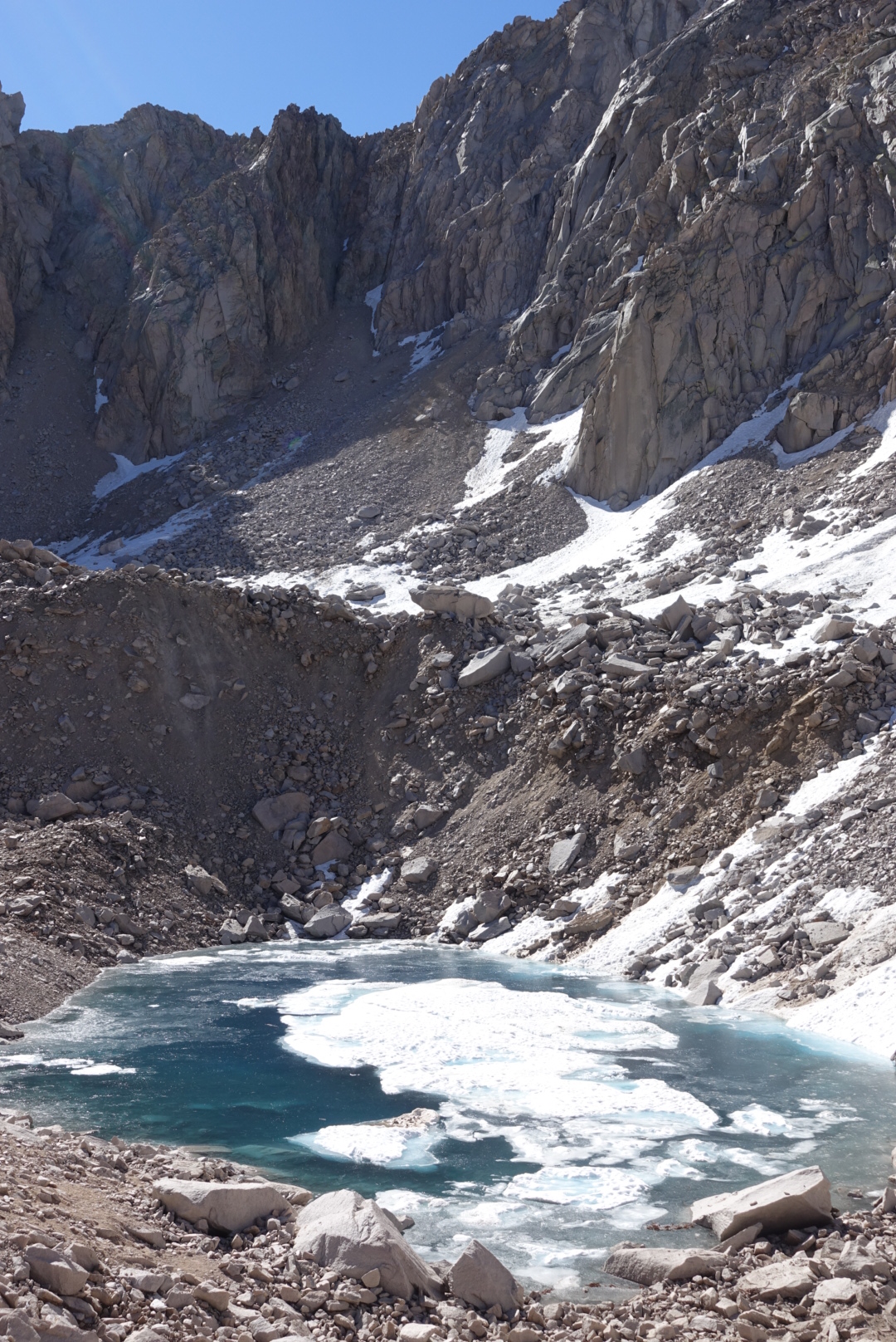
Hiking to the last listed tentsite at 11000 feet at mile 836 – just 2 miles and 900 feet altitude away from the pass. This will put us in a good position to go over the pass early avoiding too much snow melting and with that postholing.
What a cold morning. Unexpected. We all had ice in the tents respectively on the sleeping bag.
Started walking around 8am towards Mather pass.
Long ascend to Mather pass. But I remembered the scenery quite well from my 2016 JMT hike. Beautiful.
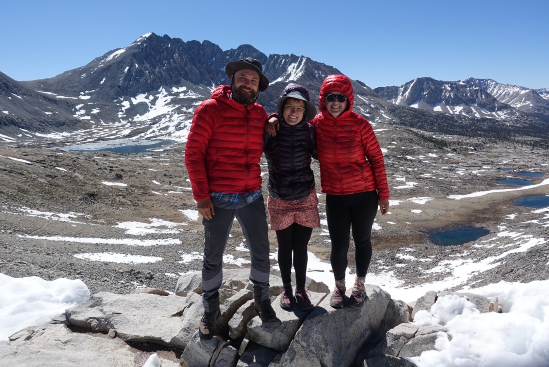
At the end there was not so much altitude to do and we reached the peak around 10am.
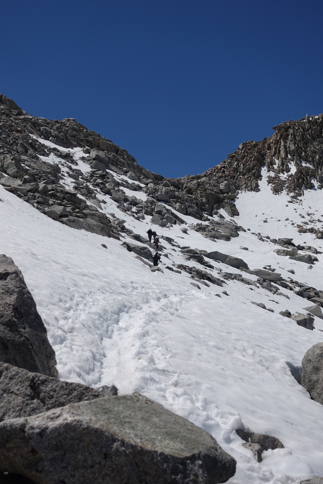
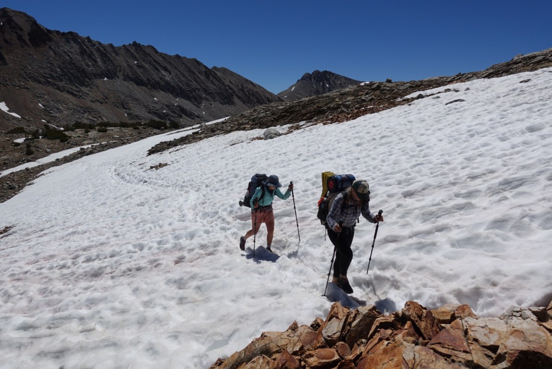
The descend however gets much more difficult than expected. Large snowfields, no visible trail but only footprints leading down steeply. Cactass and Tinkle use their microspikes for the first time. I go slow and try to kick steps into the frozen snow where possible. Cactass glissades on purpose and breaks a piece of her backpack frame (not on purpose).
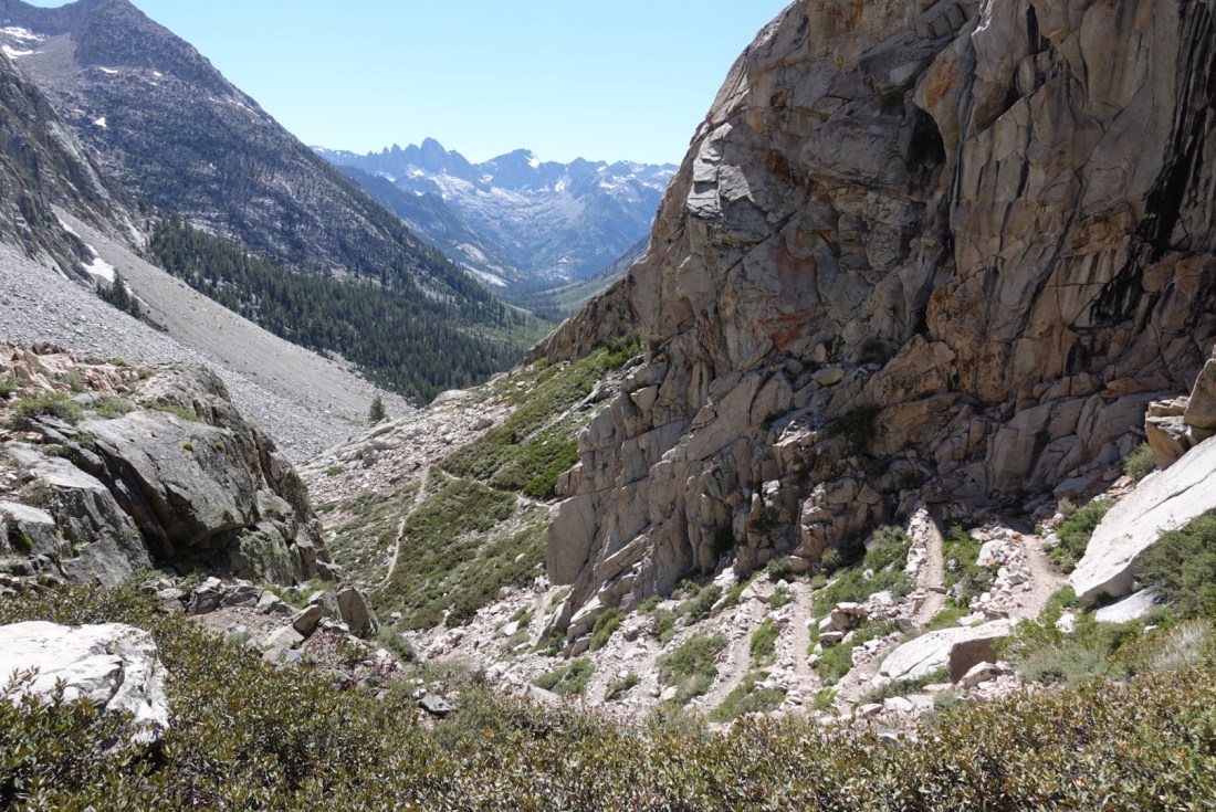
Coming to tree level, the scenery changed again and a long descent from 12000 to 8000 begins.
After the Palisade lakes, the descend gets steeper via tight switchbacks.
For tomorrow, we decided to take it a bit slower and only approach Muir pass. According to the snow report, Muir would have the biggest snowfields during ascend and descend – so we want to play it safe and climb it very early.
Left camp at 6.45am. Breakfast after the water crossing, started hiking at 8am.
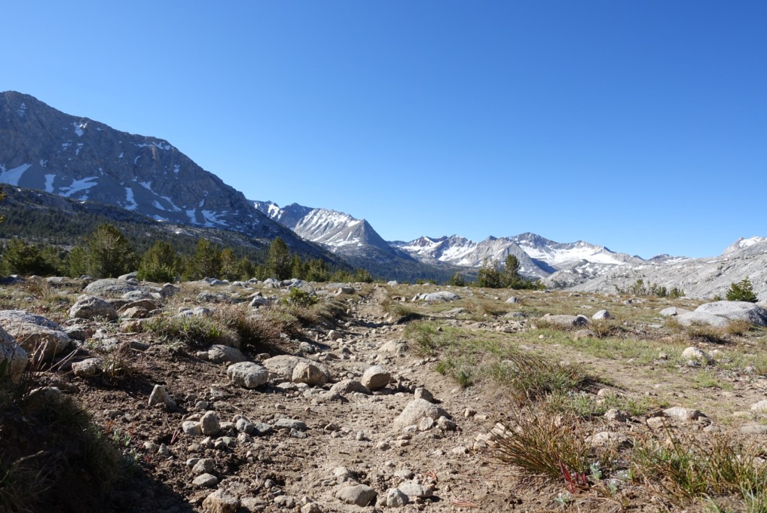
Very long approach to Pinchot pass. Few scattered snow fields, but no postholing issues.
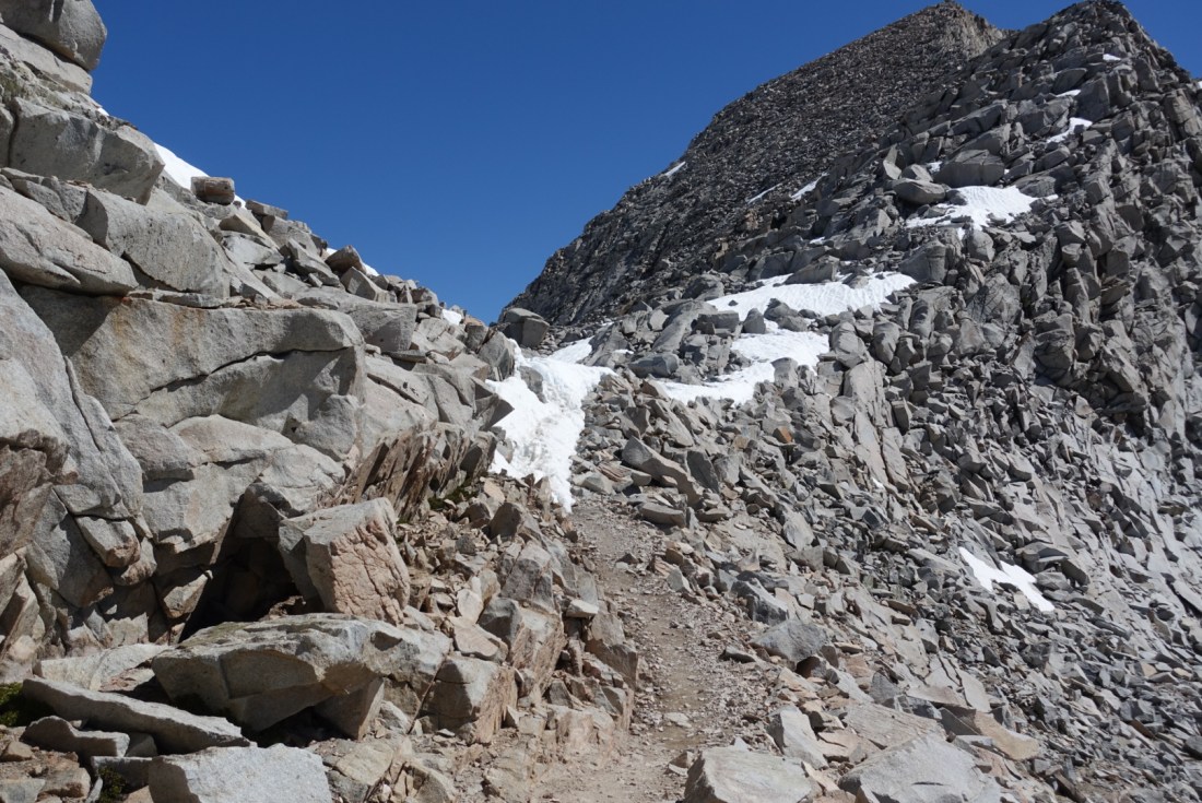
Made it to the top around 12pm. Last few meters were difficult with a small snowpatch. Took a short break only, wanted to go down quickly to avoid melting snow.
On the top, we met Galaxy and the hiker who got swept away and rescued by SAR yesterday – unbelievable. He looked a bit beat up, but they caught up on us.
The way down was again a bit of climbing, small snowfields but at the end not very steep. We found shelter from the sun and had a late lunch break until 3pm.
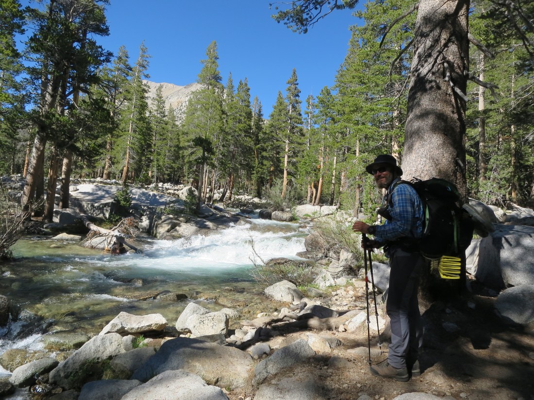
Lots of water crossings… First time for me to have to switch shoes and cross in my Crocs.
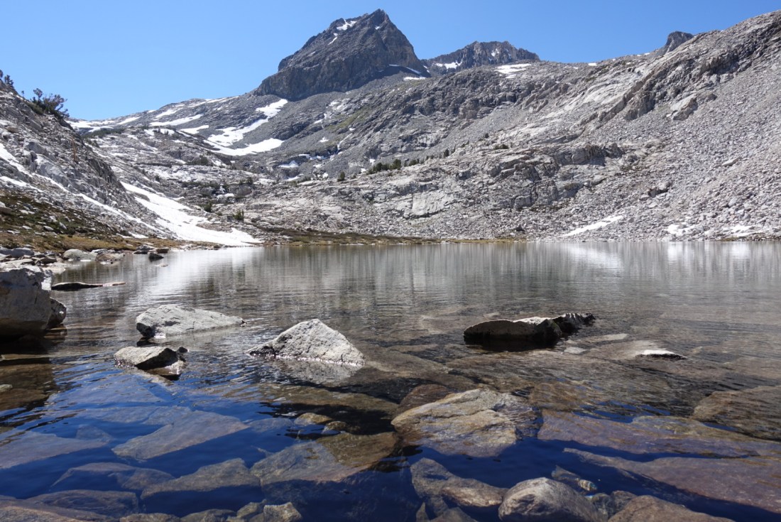
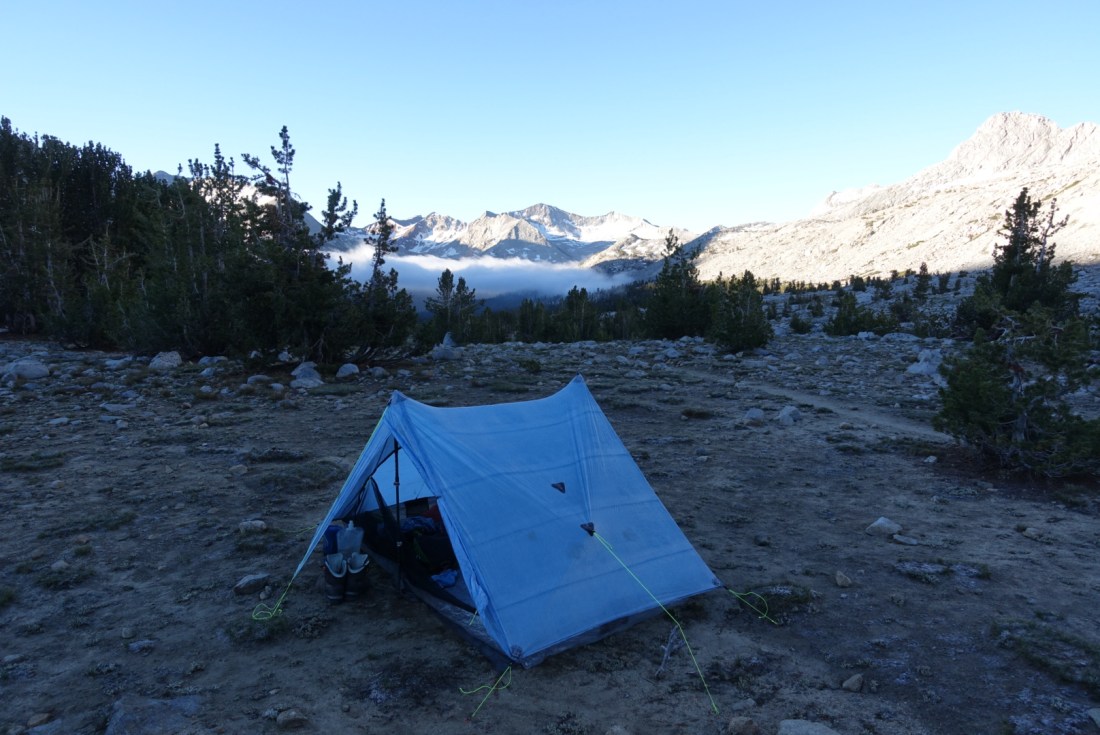
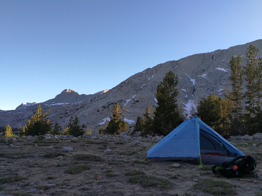
Pitched my tent one more time with an amazing view…
Got up at 6am, condensation in the tent. Lazy breakfast, still cold without the sun. Started hiking 730am. After a couple miles back on the PCT.
Climbing Glen Pass, made it to the top at 9.30am. Watched two hikers cross the next snow field, one starts sliding down. Luckily only a short distance until he finds hold again.
Crossing the snowfield was not so difficult after all. Followed the rocks instead of footprints in the snow a lot of times.
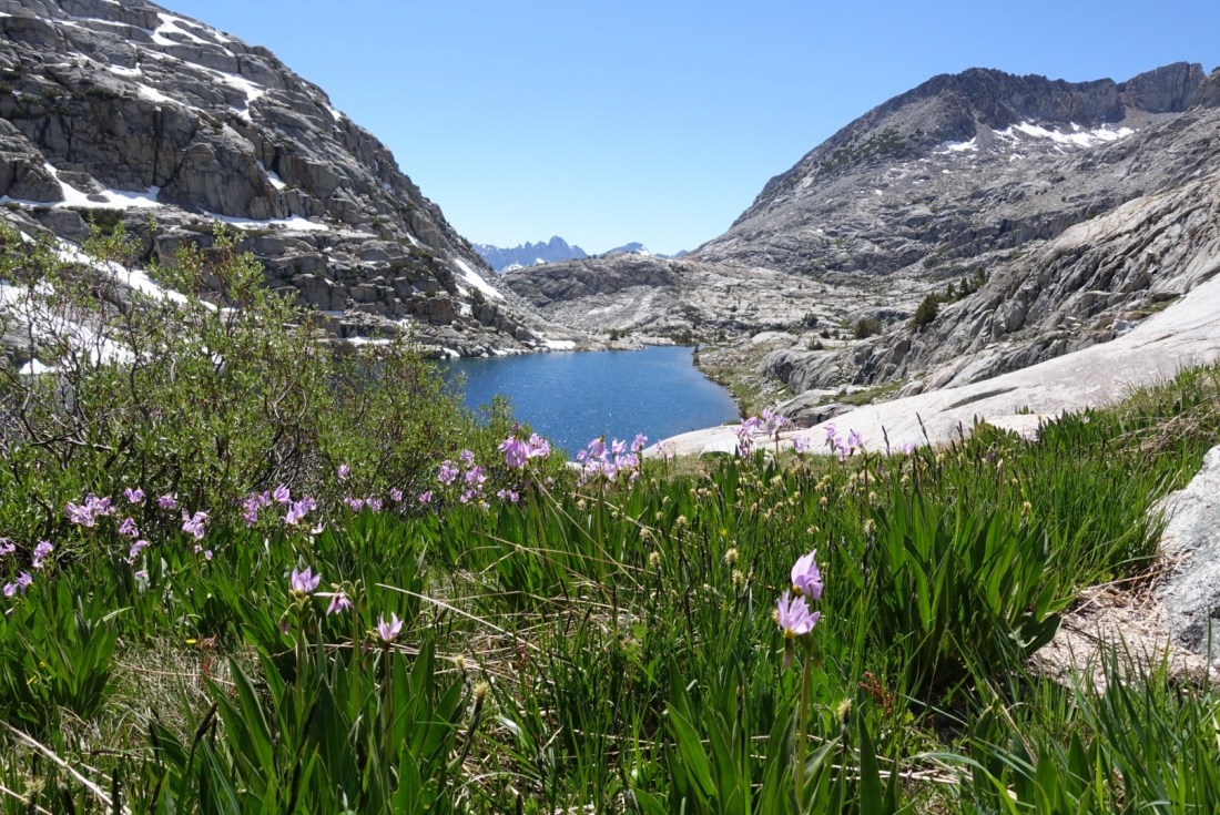
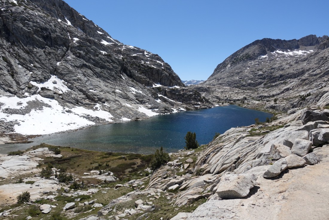
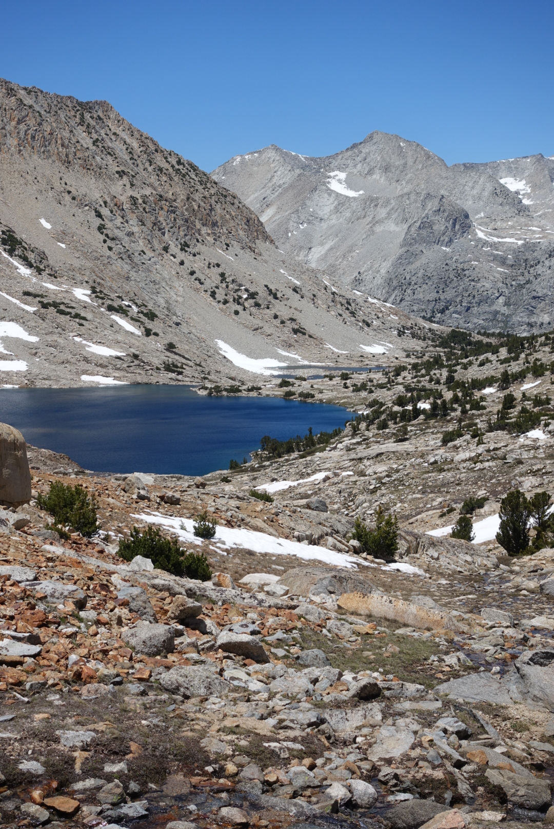
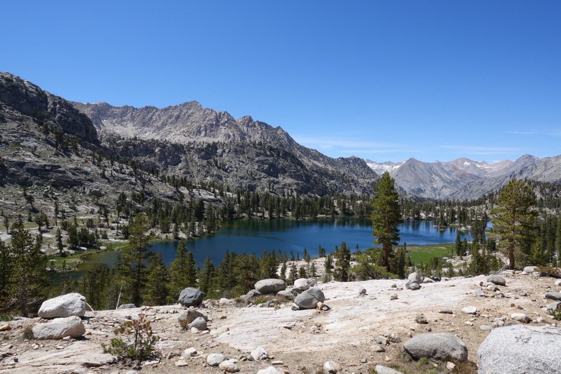
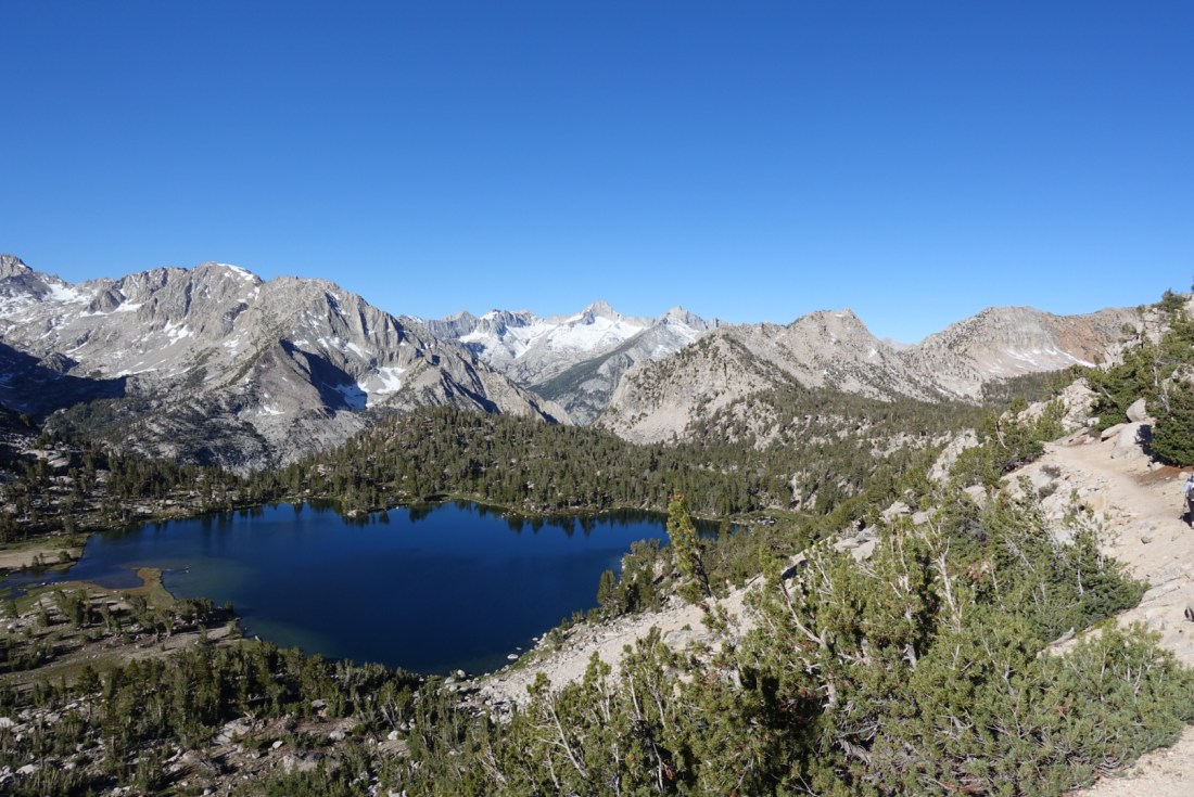
Beautiful view on the Rae Lakes. Lunch break here at 11.45am.
After the one pass comes the next in the Sierras… After descending from Glen, we started the approach on Pinchot pass. We soon passed the 800 miles marker…
After starting the long ascend towards Pinchot, we walked along a valley with a river rushing down a wide flat rock bed. We ran into three other hiker Irish Toni, Smalls and Michael when we came to suspicious scene around 5.30pm.
Two backpacks lay open close to the river, with gear laying around them. A water bottle and hiking poles lay right next to the rushing river on the flat slippery surface.
A hiker was washed down the waterfall and got stuck
Another hiker belonging to the second pack showed up shortly after. She had witnessed her hiking buddy falling and had tried unseccessfully to find safe crossing over the river to get closer to him. We all decided to stay and help the rescue efforts as we could. The hiker was already in touch with SAR (search and rescue) with her Garmin InReach and was confirming position and describing the situation. I tried to keep her at a safe distance from the river and throw over some supplies to stuck hiker – emergency bivy, some food and sleeping bag to keep warm as well as his headlamp. We communicated by handwritten notes, wrapped around a stone in a plastic bag due to the loud waterfall.
About 30 minutes later, the rescue helicopter appeared and surveyed the scene with a few fly overs. He announced his return via loudspeaker and disappeared again.
When the helicopter appeared again, he started lowering a rescuers right next to the hiker in distress. Amazing to watch the accuracy of the rescue team, considering the roaring waterfall right next to them. 10 minutes later, the hiker was lifted out of the dangerous situation.
Full video of the rescue will be available soon.
We were all still shaken when we started hiking again around 7pm to make it closer to Pinchot pass. Glad that the hiker had obviously been saved without major injuries, it also made clear how one misstep can lead to disaster.
We came to another water crossing but due to setting darkness, we decided to camp and cross in the morning. Pitched tents and ate in darkness.
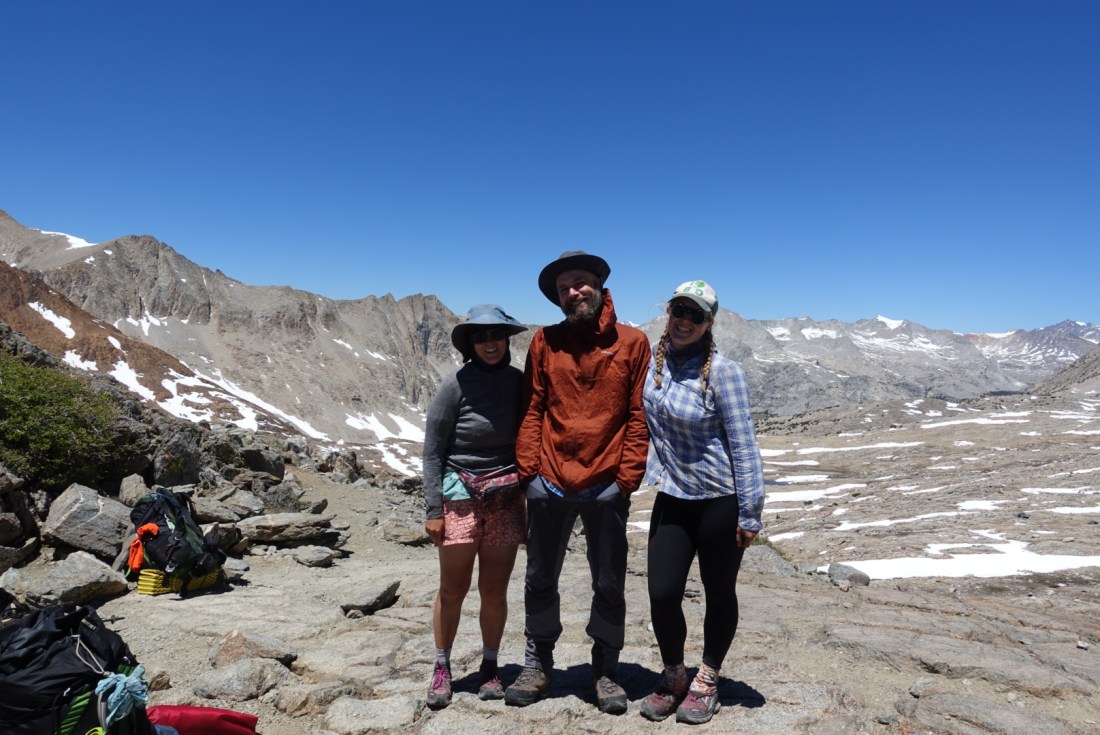
After zeroing in Bishop on June 13, we took the bus on June 14 from Bishop to Independence. Waited there quite a while at the road leading back to Onion valley campground, but then a fellow hiker (Notorious FIG) drove up in a rental and took us up to the trail.
Since we only made it to the trail at 4pm, we just had the plan to make it over Kearsage pass and camp soon after.
During the ascend, I met another hiker, an arborist called ape man. He had quite some details to share on the trees we passed. And ape man has a YouTube channel where he actually shared a video taken the same day.
@ape man, it was nice to meet you.
Making it over the pass around 6.30pm, we picked our tents soon after. For tomorrow, Glen pass and also the milestone 800 is planned.